Build Your Own
Map and Services.
Our team offers support and assistance in developing your product.
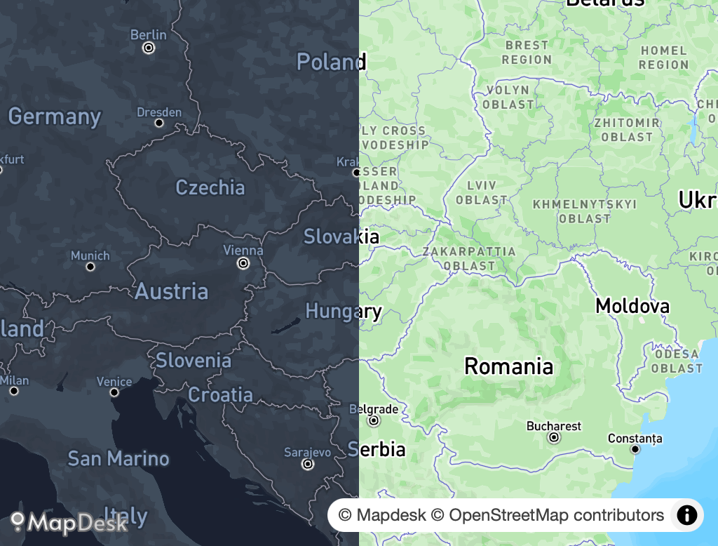
- © Mapbox and © MapLibre styles
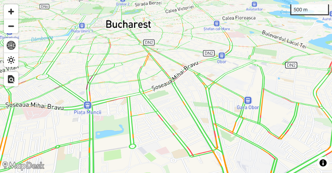
- Custom vector tiles services
- Customized routing engine services
- Forward and Reverse geocoding services